
Ramsey County Neighbors: Block Sources at a Glance
Public records around a Ramsey County address are not a complete account of everyone on the block. Map layers locate parcels and boundaries. Tax and recorder records identify a named owner or transfer. Elections law sharply limits voter-list use. Community organizations may make a meeting or public contact visible, but their member rosters are generally not a public directory. Treat each source as a narrow piece of evidence, then compare the date and location before drawing a conclusion.
| Source | What it shows about a block | Access |
|---|---|---|
| MapRamsey | Adjacent parcels, imagery, boundaries, and map layers | Public map; exact buffer tools require live verification |
| Property and tax record | Tax name, mailing address, class, value, parcel or PIN | Public county lookup; not a people roll |
| Recorder index | Ownership transfers, legal description, deeds, and plats | RecordEASE and older-record routes |
| Voter public information list | Specified public voter fields for an eligible lawful user | Restricted by Minnesota Statutes section 201.091 |
| Precinct maps and community contacts | Election geography, public meetings, and local contact routes | County, Secretary of State, municipal, or association route |
The tax mailing address may be far from the parcel's situs, which is the physical address. A homestead classification can be consistent with owner occupancy, but it does not prove who is there at a given time. An entity, trust, or care-of name also requires care. Parcel data supports a property question, not a census of every person on the block.
MapRamsey Layers Around Ramsey County Neighbors
MapRamsey is the starting spatial index for a block. Its documented layers include tax parcels, classifications and valuations, current and historic aerial imagery, oblique views, environmental data, administrative boundaries, points of interest, schools, hospitals, and government buildings. Those layers help explain why two addresses look adjacent on a map but belong to different jurisdictions or legal descriptions.
Map browse and parcel clicking are documented. The exact buffer, radius, measure, and select controls were not captured in the research, so do not assume a distance tool or a complete automated list exists. A Ramsey County neighbor search should begin with a visible parcel and move outward one polygon at a time. That method is slower, but it preserves the record boundary instead of inventing one.
Note: Save the map date, parcel or PIN, and legal description with any block notes because map layers and parcel configurations can change.
Map a Block of Ramsey County Neighbors
Use the parcel chain to understand the immediate block. The reliable Ramsey County flow is address to parcel click, then PIN or legal description, property lookup, owner or tax name, and recorder index. A PIN is the county parcel identifier. The legal description is the lot, block, addition, or other land description used in recorded instruments. Together, they are more stable than a loose address match.
- Locate the street address in MapRamsey and click its parcel polygon.
- Record the situs, PIN, legal description, classification, and map context before opening another result.
- Click the adjoining polygons that form the immediate block face, saving each parcel identifier separately.
- Move each PIN into the county property lookup to read the tax name and mailing address without treating either as proof of current presence.
- Use RecordEASE by owner or legal description when a documented transfer or plat is relevant.
Adjacent parcels can use different mailing cities, ZIP codes, ownership structures, and even municipalities while sharing a block face. For a full named-street sequence rather than the immediate block, the Ramsey County street directory follows the parcel trail at street scale.
Voter-List Limits for Ramsey County Neighbors
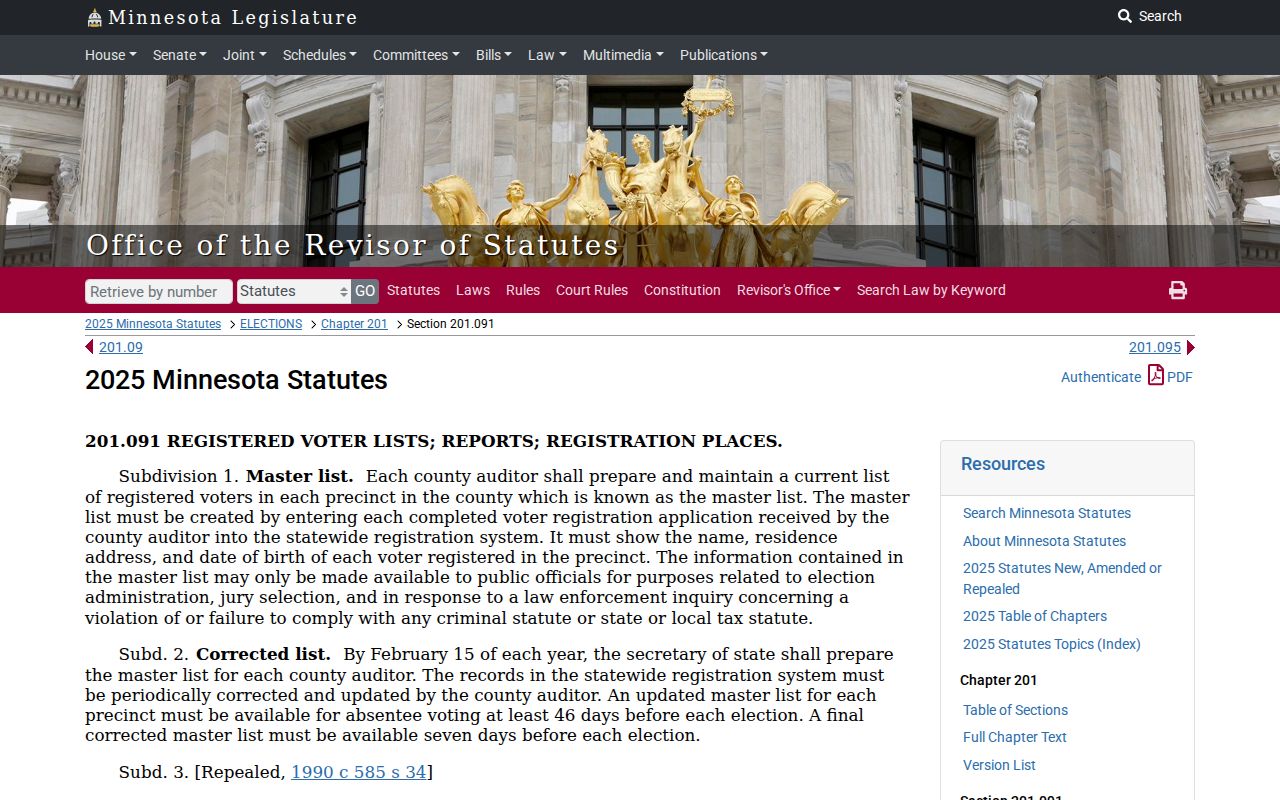
MNVotes is for a person checking their own registration and voting information. It is not a block directory. Minnesota's public information list can contain name, address, year of birth, voting history, optional telephone, and voting-district information, but access has strict conditions. Under Minnesota Statutes section 201.091, an eligible user identifies themselves and signs a statement that limits use to elections, political activities, or law enforcement. Searchable Internet republication is prohibited.
The statute page records the legal boundary behind that distinction.
Ramsey County Elections routes registration and polling questions through the Secretary of State and local elections office. Precinct maps and the polling-place finder can confirm election geography for an address or ZIP. They do not convert voter data into a searchable list of names on the block. Voting history can also lag after an election, and exact date of birth, email, and identification data remain private.
Ramsey County Neighbors Cross More Than One Geography
Ramsey County is a municipal patchwork centered on Saint Paul and including places such as Arden Hills, Falcon Heights, Gem Lake, Lauderdale, Little Canada, Maplewood, Mounds View, New Brighton, North Oaks, and North Saint Paul. Legal municipality, mailing city, ZIP, county, parcel, and precinct are separate fields. A Saint Paul-style postal address can sit in a different municipality or service district, and a shared ZIP boundary does not establish a shared civic boundary.
This geography matters when comparing block records. MapRamsey's administrative boundary layer can explain the municipal side of a parcel. The tax mailing address can lead outside the county. A recorder legal description may be more useful than a street label when lots split or combine. Election precincts can change after redistricting. Record each layer rather than forcing all of them into one label for the block.
The resulting local picture differs between a downtown Saint Paul parcel surrounded by historic plats and a suburban parcel where newer municipal records may supply more context. It is a geography question first, then a records question.
Community Routes for Ramsey County Neighbors
Community organizations can help a person find a public meeting, boundary, or contact route. They are not a source for private member lists. The research identified Saint Paul district councils and neighborhood organizations, municipal neighborhood pages, and civic or community organizations across Ramsey County. It also identified suburban association activity in Maplewood, Roseville, New Brighton, North Oaks, Arden Hills, Little Canada, and North Saint Paul. The exact current organization names, boundaries, published-directory status, and join routes need verification with the relevant municipality or association.
| Community route | What may be public | Current-status caution |
|---|---|---|
| Saint Paul district councils and neighborhood groups | Meeting, contact, and neighborhood geography | Verify current council name, boundary, and contact on the city route |
| Suburban city associations | Public civic notices or meeting route | Verify whether an association covers the exact municipality and block |
| Homeowner associations | Association contact where published | Member rosters are generally private; ask the association and respect its rules |
| Congregations, block clubs, civic or veterans groups | Public events, contact, or historical archive | Private membership information is generally not a public record |
Ramsey County Historical Society and public-library local-history desks can sometimes point to neighborhood files, maps, telephone books, yearbooks, newspaper microfilm, or subject collections. Confirm a holding before making a trip. Public contact is enough for community participation; a private roster is not required for a lawful block inquiry.
Official Rolls Compared With Commercial Neighbor Tools
Official systems keep each record tied to its custodian and purpose. Commercial neighbor tools often combine property and marketing records, which can be stale or merge people with similar names. They cannot overcome protected addresses, legal voter-list restrictions, or the difference between a property owner and a current occupant. Do not treat a polished map or a compiled list as a substitute for the original public record.
| Source type | Useful for | Key limit |
|---|---|---|
| County parcel and recorder records | Parcel, tax name, legal description, and recorded transfer | Does not establish everyone present at an address |
| Election and precinct resources | Personal registration status or lawful election geography | List access and reuse are controlled by section 201.091 |
| Commercial compiled tools | Possible lead for a fact to verify elsewhere | Can be outdated, mismerged, incomplete, or context-free |
When an official source and a compiled result conflict, save the official record date and ask the responsible office about the proper correction channel. A location, a name, and a record date are more useful than an unverified block list.
Privacy Limits on a Neighbor Lookup
Protected address choices must be respected. Minnesota's Safe at Home program assigns an enrolled person a designated legal address and shields their address from public and private entities. Voters may also seek withholding from the public information list or inactivate a record. Withholding does not necessarily remove a name from the polling-place list, which has a different audience. A property or recorded-document issue can require its own statutory protection, so a program enrollment does not promise a single universal result across every record system.
The Minnesota Safe at Home program describes the address-confidentiality route.
Driver and vehicle address information is also restricted under DPPA and Minnesota law. Utility and delivery information are not public block sources. Courts can restrict victim, juvenile, domestic-abuse, and family details. Those limits preserve safety and do not signal that a source should be bypassed.
Lawful use. A neighbor lookup can support personal, civic, or property curiosity. Do not use records to watch, harass, intimidate, or threaten another person.
The Ramsey County Adult Detention Roster
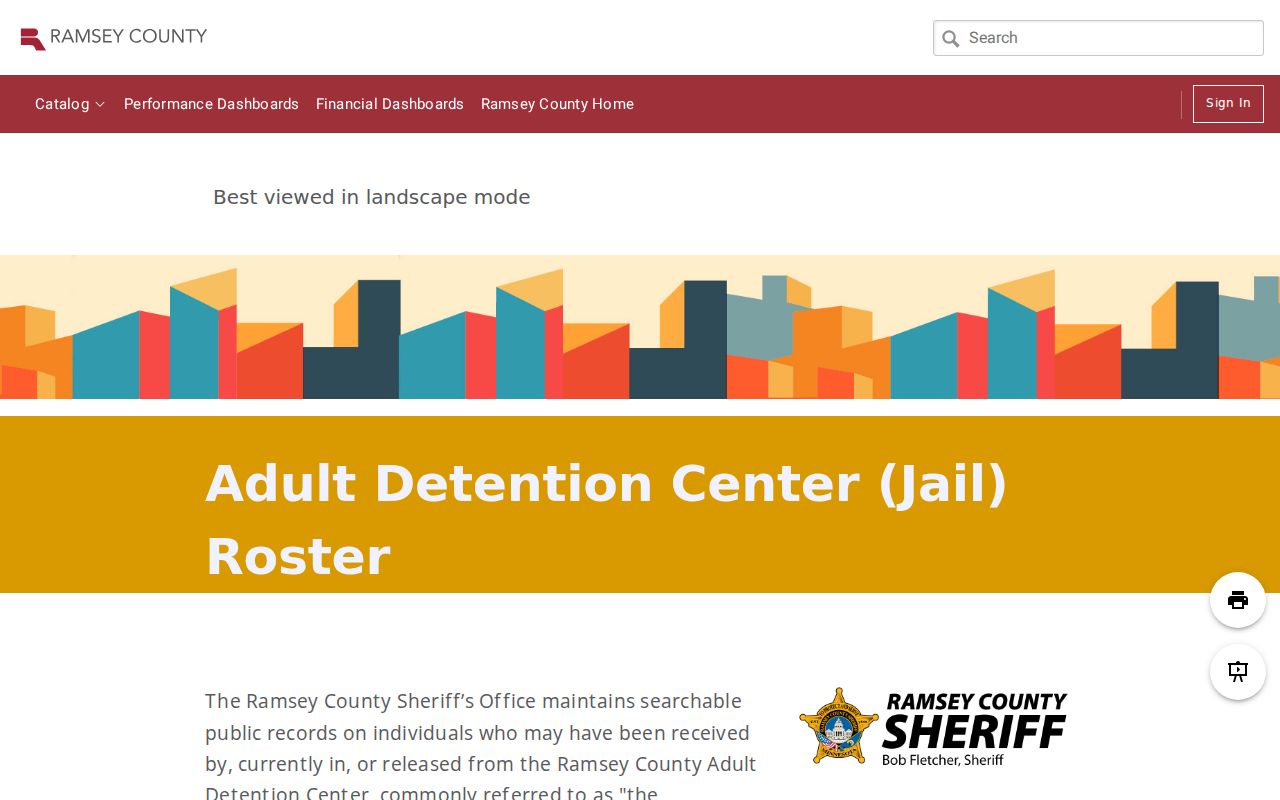
The Adult Detention Center roster is a time-limited public record, not a neighborhood source. It is updated every 30 minutes and includes people currently held plus those listed for five days after release. Captured fields include first and last name, age, booking number, booking date, charges, case numbers, court dates, and proceeding locations. A booking entry is not an outcome, and it should never be used to label a block or a person.
The Ramsey County Adult Detention Center roster illustrates the short window and record-specific context.
For a case question, use the case number with MCRO or court administration. For a block question, return to the parcel, municipal boundary, and community-contact routes.