
Ramsey County Previous Residents Sources
A Ramsey County address leaves different kinds of evidence in different periods. Parcel and deed records establish the ownership sequence. Printed directories and census schedules add names associated with the address. Maps test whether a building and street configuration fit the date. The strongest previous residents research keeps those layers separate, records where each item came from, and returns to the original image or volume when two records disagree.
| Source | Years it covers | Where held | What it can show |
|---|---|---|---|
| RecordEASE electronic record | Electronic cutover from 2014-04-24 | Ramsey County Recorder | Recorded instruments and title-chain leads |
| Deed books and tract indexes | Older years, exact start not captured | Recorder office, MNHS, or FamilySearch channels | Earlier owners and legal descriptions |
| St. Paul directories | 1858-1859; 1863-1871; 1873-1924 | MNHS, RCHS, FamilySearch, and library shelves | Names, addresses, and occupation clues |
| Dual City Blue Book and Polk | Blue Book 1885-1923; Polk from 1885 captured | Historical collections and catalogs | Additional named directory entries |
| 1895 and federal census | 1895; federal releases through 1950 | MNHS, NARA, and library databases | Household snapshots |
| Sanborn maps | 1885, 1903, 1926 captured | Library of Congress and MNHS access | Building footprint and street context |
Start with the current parcel when the goal is a backward ownership trail. Start with a city directory when a surname and approximate year are already known. A directory disappearance may be a move, a death, a missed issue, or a changed spelling. It should not be treated as a proven end point without another dated source.
Ramsey County Parcel Snapshot
Freeze the present parcel details before searching for past residents. Ramsey County's Property Tax and Value Lookup accepts a property address, PIN or parcel number, and a plat, block, or lot route. The public instructions call for entering a PIN or address, checking the returned address, selecting the parcel identifier, and opening its account information. MapRamsey supplies the spatial check through parcel, imagery, boundary, and other map layers.
Record the situs address, PIN, tax name, mailing address, classification, legal description, and the date of the map view. Situs means the parcel's physical location. A mailing address can be elsewhere and is not proof that the tax name lives at the site. A parcel split or merger may mean that the earlier legal description does not match the present address word for word.
- Situs address
- The physical location of the parcel.
- PIN
- The county parcel identification number used to distinguish a specific parcel.
- Legal description
- The lot, block, addition, or other land description used to identify property in recorded documents.
Ramsey County Deed Chain
The Recorder and Registrar of Titles keeps the durable ownership record. To move backward, use today's owner as the grantee on the deed that conveyed the parcel to that owner. The seller named in that deed is the grantor. Search that seller as a grantee to locate the seller's earlier acquisition, then repeat. Keep the legal description in view each time, because an address is only a lead and does not control a title chain.
- Pull the current situs address, PIN, and legal description from the county property record.
- Locate the current owner's acquisition instrument in RecordEASE by legal description or grantee name.
- Save the document number, recording date, grantor, grantee, and any lot, block, or addition detail.
- Search that grantor as the earlier grantee, narrowing by date and legal description.
- Repeat the sequence backward, branching the notes when a plat, split, combination, or different land system appears.
- Grantor
- The party conveying an interest in the recorded instrument.
- Grantee
- The party receiving that interest in the recorded instrument.
- Chain of title
- The ordered series of recorded transfers connecting one owner to an earlier owner.
- Criss-cross directory
- An address-ordered directory section that can connect a historic street address to a printed name.
- Enumeration district
- The geographic unit used to organize a census count, useful when an address must be located in a census schedule.
Ramsey County Recording Cutover
Ramsey County reports that electronic recording began on April 24, 2014. That date is a technology breakpoint, not the beginning of the property history. RecordEASE supports document retrieval and book-and-page routes, with a Book Type choice for indexes such as Deed Index or Abstract Index, a book number, and a three-digit page field. Plats can be searched by Addition, Plat Code, or Name and opened as a Plat Map.
The captured RecordEASE page says public searching and viewing have no additional charge. It separately lists subscriber features at $25 per month, $0.85 per document or certificate search, and $1 per viewed document, certificate, or plat. Those are different access paths. Older books and tract indexes may require the recorder office, the subscription instructions, MNHS, or FamilySearch rather than a conclusion that no earlier record exists.
Note: Record the search route and date because index coverage varies by book, document type, and access channel.
Ramsey County Older Deeds
Older title work depends on legal descriptions, plats, deed books, and tract indexes. Abstract and Torrens land can follow different document paths. A plat connects a lot, block, and addition to an address, while a split parcel can make one modern PIN correspond to several older tracts. Pull map and plat evidence into the same ledger as the grantor-grantee steps instead of treating a changed street number as a new property.
MNHS and FamilySearch can help locate digitized or cataloged county books. Gale Family Library, Ramsey County Historical Society, and public-library local-history staff are useful contacts for historic maps, newspapers, property abstracts, neighborhood files, and directory runs. Current hours, fees, and the exact holdings should be verified with the institution before a visit.
Ramsey County Household Trail
Ownership does not answer every previous residents question. The historic household layer comes from the documented St. Paul directory runs, Blue Books, Polk entries, and census schedules. The collections themselves have fuller context on the Ramsey County Directory Book page. In an alphabetical directory, save the surname, given name, spouse or widow notation, occupation, employer, and printed address. Search reverse or criss-cross volumes when available, but verify the local year run with the catalog.
- Choose a directory edition nearest to the address event.
- Write down its exact address form and all name variants.
- Check the prior and next editions for moves, changed spelling, or “removed to” notes.
- Pair the finding with the 1895 Minnesota State Census or the closest released federal census.
- Use relatives, street, age, and occupation together before treating similar names as one household.
Federal census images follow a 72-year release rule. The 1895 Minnesota census is an important local bridge between federal decades. Directories are annual snapshots, while a census records a household at a particular census date.
Ramsey County Sanborn Checks
St. Paul Sanborn maps captured for 1885, 1903, and 1926 test the building part of an address trail. They can show whether a structure existed, its footprint, construction material, stories, use, and the street pattern. That evidence helps bridge a directory address to a parcel history. It does not identify everyone who lived there.
The Library of Congress St. Paul Sanborn map record is a public starting point. MNHS walk-in users can also use Digital Sanborn Maps. Compare a sheet with the directory and deed year, then check block, lot, addition, street name, and number before equating an old address with a current one.
Ramsey County Record Endpoints
A death, probate case, obituary, cemetery record, newspaper notice, or permit can explain why a name drops from a previous residents trail. Probate may identify a personal representative, heirs, devisees, and addresses, subject to court access rules. Minnesota birth and death products have separate confidentiality, eligibility, and attestation requirements. A marriage certificate belongs with the county that issued the license, while a divorce decree belongs with the district court that granted it.
The official source for this reference image is Minnesota Statutes section 144.225.
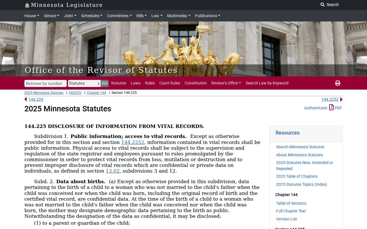
The statute describes vital-data disclosure and confidential or private layers, so it is important to use the custodian's current application and eligibility instructions. A vital-record product can support a dated family-history conclusion, but it should not replace the parcel and directory evidence.
The official source for this second reference image is Minnesota Statutes section 144.226.
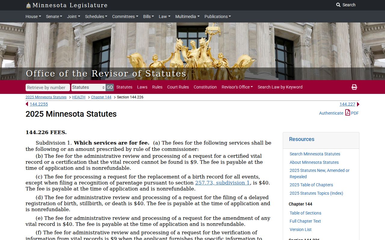
That statute addresses vital-record fees. Check the current product page and the proper custodian before ordering, because product type, access route, and eligibility can affect what is available.
Ramsey County Court Archives
Minnesota Historical Society preserves Ramsey civil case files from 1858 through 1902 and pre-1953 criminal files. A relevant historic file can provide a dated endpoint or relationship clue, but access and record contents depend on the file. Current state court research uses MCRO and courthouse public terminals, which can offer more complete electronic access than remote search. For a federal record layer, the District of Minnesota uses PACER, which requires an account and applies the current federal fee schedule.
The official source for this federal-court reference image is PACER's access page.
Court material belongs at the end of a well-documented address trail, not at the start. Save a case number, court, filing date, and the record source, then ask the responsible court about certified copies or archived materials when needed.
Ramsey County Previous Residents Limits
Street names, abbreviations, numbering, lot lines, municipal boundaries, and parcel configurations can change over time. The captured research did not establish one Ramsey-wide renumbering year. Use Sanborn street grids, plats, directory “removed to” notes, old maps, and city street-name records to bridge a difference. Flag an unresolved change in the evidence ledger instead of silently treating two addresses as the same place.
Lawful personal use. Ramsey County previous residents research is appropriate for family history, house history, record correction, and personal curiosity. Minnesota Chapter 609 can apply when records are used to monitor, threaten, intimidate, or repeatedly contact a person. Respect protected and confidential records.
The official source for this government-data reference image is Minnesota Statutes Chapter 13.
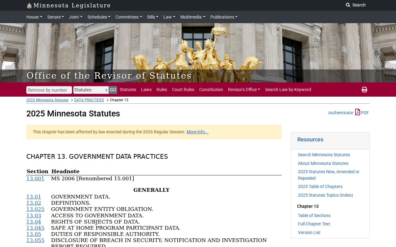
The backward trail stops when accessible records end. Chapter 13 classifies government data and allows inspection of public data, while private or nonpublic information requires legal authority, consent, or another applicable basis. A focused request should identify existing records, date range, and desired format for the responsible office. It does not require an agency to create a new analysis or release protected data.