
Ramsey County Street Directory Walkthrough
Work one address at a time. The county map and tax system identify land and the party tied to its tax record. The Recorder supplies the transfer documents that explain ownership, while historical address tools can add a dated household clue. Each source has a narrower purpose than a general resident roll. Keep a note of the street spelling, house number, municipality, and PIN before moving from one system to the next.
- Find the address in MapRamsey and open the parcel polygon. Record the situs address, PIN, and legal lot, block, or addition shown for that place.
- Use the PIN or address in the county property lookup. Confirm the address before selecting the parcel record, then treat the tax name as an ownership lead rather than a current-residency claim.
- Search the Recorder’s RecordEASE index with the owner name and legal description. The acquisition deed, mortgage, lien, plat, or easement may explain why an address and a legal description travel together.
- For a lawful election-related purpose, use the state’s personal registration route or the restricted voter-list process. Neither route creates a street census for public posting.
- For an earlier household clue, consult reverse or criss-cross directories at historical library resources. Match the street form and number before treating an entry as the same place.
That order prevents a common mistake: starting with a name, then assuming every matching address belongs to the same person. A parcel is the durable anchor. The name on one tax statement, a mailing address, and a directory entry may each refer to different relationships with it.
MapRamsey on Ramsey County Streets
Ramsey County’s property and home hub is the starting point for MapRamsey, the interactive view used to locate a road and its parcel polygons. It documents tax parcels, classification and valuation layers, current and historic aerials, oblique imagery, environmental data, administrative boundaries, and points of interest. Those layers help distinguish a parcel from a nearby lot, a municipal boundary, or an older building footprint. They do not identify every person associated with the address.
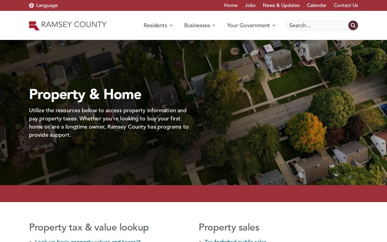
The county portal places tax, records, and mapping tasks in one property-focused path. Use the map to establish the physical parcel first, then carry its PIN into the appropriate county system.
The manifest also preserves a legacy property-tax example. Its URL uses a different county domain from Ramsey County’s current services, so it is an example capture that needs verification before it is treated as a live Ramsey County search route.
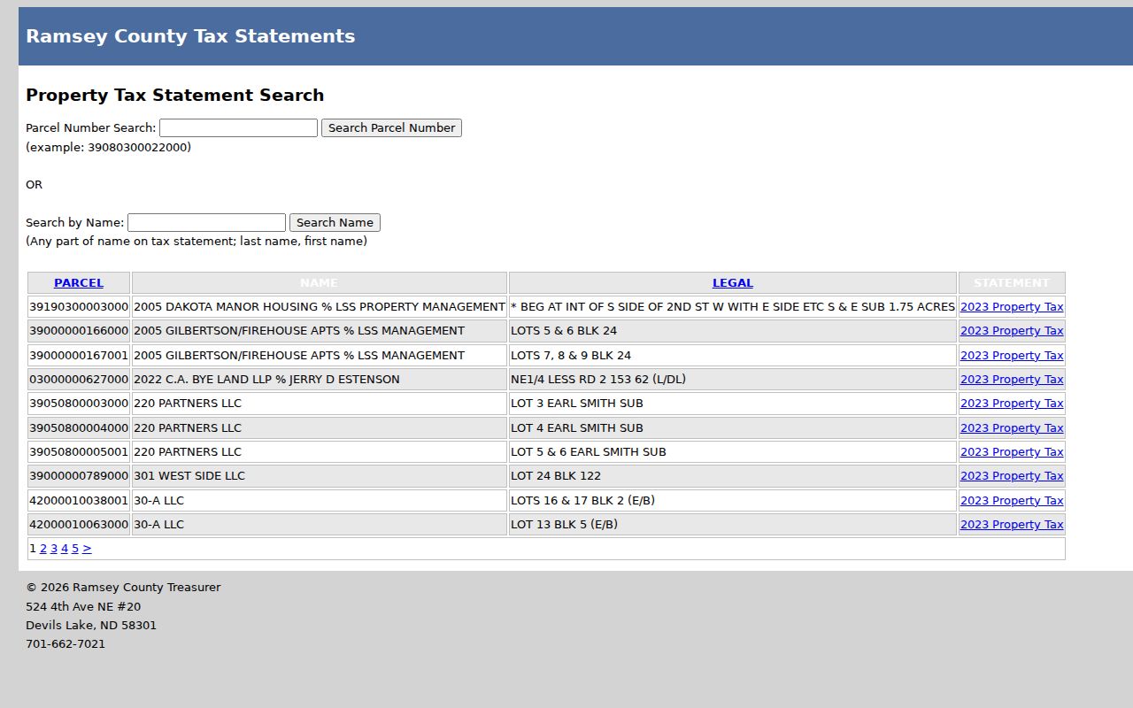
The legacy example reinforces the need to confirm the current Ramsey County portal and its fields before using a property result in an address search.
Map layers also show why the legal municipality matters. Ramsey County includes Saint Paul and many suburban municipalities. A street segment can cross a city line, and the county map remains useful while permit, code, and clerk files may be held by the city named in the address. That distinction makes a street directory useful for a careful street-by-street check.
Ramsey County Parcel Lookup
The Ramsey County Assessor maintains valuation and classification context for parcels. The property and tax routes documented in the research accept an address, a PIN or parcel number, and a plat, block, and lot combination. A captured legacy result also supports a name on the tax statement. Results may show a parcel, name, legal description, and statement year. Live fields should be checked before relying on a result screen.
| Lookup field | Use on the county route | What to save |
|---|---|---|
| Property address | Find the physical parcel from a complete address. | Situs address and selected parcel ID. |
| PIN or parcel number | Open the same land record after a map click. | PIN and parcel result. |
| Plat, block, and lot | Match subdivision-style legal descriptions. | Addition or plat wording. |
| Name on tax statement | Use as a tax-record lead where the route permits it. | Exact displayed name and statement year. |
The county payment and property instructions describe entering a PIN or address, selecting Search, verifying the address, and opening the blue parcel ID for account information. The captured route is useful for confirming a parcel. It does not document a public filter that returns all addresses on a street or all people in an area.
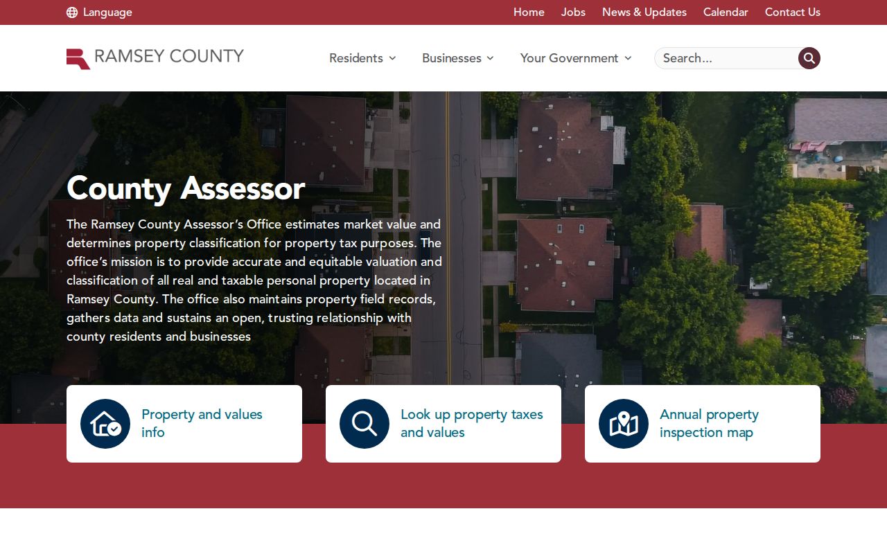
Assessor materials give the tax and land context that makes a street lookup more precise. Classification and estimated market value describe the parcel, not the day-to-day presence of a household.
RecordEASE Chains by Street
The Ramsey County Recorder and Registrar of Titles keeps recorded real-estate documents permanent. RecordEASE offers document retrieval, a book and page route, and plat searching by addition, plat code, or name. In its instructions, Book Type can select an index such as Deed or Abstract, and the book/page path uses a book number and a three-digit page. A plat map can be opened from the plat search. These are land-record tools, so a legal description carries more weight than a familiar house number.
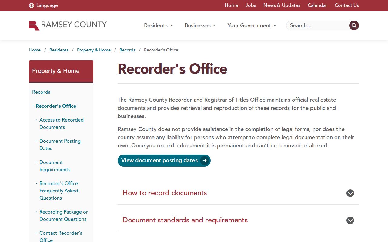
The Recorder office also points to Property Watch, a property-fraud alert service. It is a separate protective tool, not evidence of a resident or owner at a given address.
Trace ownership backward by finding the deed that conveyed the parcel to the current owner. The seller is the grantor and the buyer is the grantee. Search the earlier owner as grantee for the prior deed, and repeat with the legal description in view. Electronic recording began on April 24, 2014. Before that cutoff, tract indexes, books, county staff, and microfilm or historical-library channels may be needed. A missing online image does not prove the land had no earlier transfer.
Ramsey Address Records by Street
A useful Ramsey County street directory combines records that are all keyed to an address but answer different questions. Parcel records identify the taxed land. Recorded instruments show transactions and legal rights. City files can associate a named party with work or responsibility at a location. Historical directories can associate an address with a dated entry. No single row proves the full makeup of a current household.
| Address record | Custodian | What it can establish | Access path |
|---|---|---|---|
| Parcel and tax record | County property and Assessor resources | PIN, tax name, legal description, classification, and valuation. | Public county lookup and MapRamsey. |
| Deed, plat, or lien | Recorder and Registrar of Titles | Recorded ownership transfer, legal land description, and document history. | RecordEASE, books, tract indexes, staff, and copy channels. |
| Permit or code file | City department or records contact | Address, work or case date, and a party named in the file where public. | Municipal portal, records request, counter, or older microfilm. |
| Directory and map material | Gale Family Library and local history collections | Dated address entry, street form, and historical building context. | Walk-in databases, catalog materials, and staff assistance. |
A PIN connects the map and property record. The legal lot, block, and addition connects a parcel to deeds and plats. Street text helps find permits and historical directory entries, but it is the least stable identifier when an address has changed form.
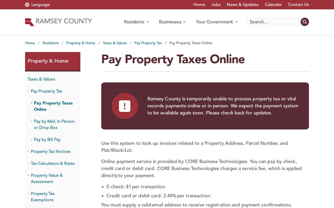
The property instructions illustrate the address-to-parcel handoff. Save the verified parcel ID before comparing any separate recorder, city, or historical result.
Ramsey Municipal Address Lines
Street evidence changes at municipal boundaries. Saint Paul departments keep Saint Paul files, while Maplewood, New Brighton, Roseville, White Bear Lake, North Saint Paul, and other municipalities maintain their own clerk, permit, and licensing records. County-wide functions still cover property, assessment, recording, elections, and related categories across the county. Record the legal municipality instead of assuming that a mailing city or a county map label identifies the city custodian.
Ramsey County’s licenses, permits, and records hub identifies county record categories, but municipal files require a more local request. Give the clerk or public-data contact the address, permit number if known, PIN, and date range. Ask for existing records. Older permit jackets or microfilm can require an in-person counter visit, and city hours and telephone contacts should be confirmed with the municipality before a trip.
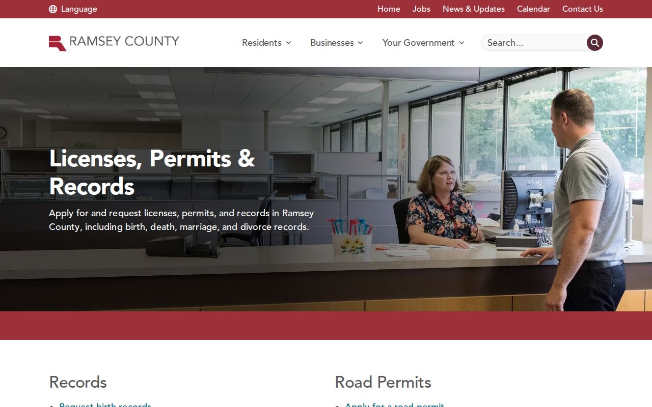
County permit categories are a useful handoff point, but a building or code record is location evidence. It does not confirm every person who lived at the address.
Voter Lists Are Not a Census
Minnesota’s public-information voter list can include a name, address, year of birth, voting history, and sometimes a supplied telephone number or district information. Exact date of birth, email, and identification number are private. The personal MNVotes registration lookup is for checking a person’s own registration, not a list of every registered voter on a named road.
Under Minn. Stat. §201.091, a requester identifies themselves and certifies a permitted election, political, or law-enforcement use before inspecting or obtaining a list. The data cannot be placed on the Internet as a searchable list or database, and it cannot be sold, loaned, or transferred except under narrow statutory exceptions. A complete request from a registered Minnesota voter has a five-business-day copy rule after reproduction payment. Safety withholding and the Safe at Home program also affect what can be available.
Historic Ramsey Street Bridges
Older Saint Paul addresses require a bridge, not a guess. The research captured Sanborn maps for 1885, 1903, and 1926, along with plats, historic maps, and directory cross-references. Use them to test whether a building existed at the time, whether a street abbreviation changed, or whether a number belongs to an earlier layout. The countywide renumbering and annexation chronology was not captured, so a precise change should be verified from city street records or the relevant historical collection.
Reverse or criss-cross directories invert the usual directory arrangement: an address leads to a listed occupant, while the alphabetical volume carries a name to an address. Search the local shelf and catalog with reverse, criss-cross, cross-reference, telephone directory, or suburban directory terms. The exact Ramsey year runs need confirmation at the Gale Family Library or Ramsey County Library. For broader dated household research, use the Ramsey County Directory Book rather than trying to make a current parcel record do historical work.
Ramsey Street Record Terms
Four terms keep the address trail clear. They are especially helpful when a map label, a tax record, and an old deed seem to describe the same property in different ways.
- Parcel
- A defined piece of land tracked by the county, commonly reached through its PIN or parcel number.
- Situs address
- The physical place where the parcel sits. It differs from the address used for tax correspondence.
- Plat
- A recorded subdivision map. Lot, block, and addition wording in a plat may be the legal key to a deed chain.
- Criss-cross directory
- An address-first directory arrangement used to locate a dated listing tied to a street number.
The mailing address on a tax record deserves the same care. It may lead to an owner’s other location, a care-of recipient, or an entity manager. It is not proof that the owner occupies the Ramsey County parcel. Homestead classification can be consistent with owner occupancy, but it is not an occupant list.
Ramsey Street Directory Limits
A public parcel map is not a public record of who sleeps at an address. It will not reliably identify private household relationships, protected-address participants, utility customers, or delivery customers. Driver and vehicle address data is restricted by the federal Driver’s Privacy Protection Act and Minnesota law. Court material has limits too: remote court search excludes party street addresses and some protected case types require courthouse terminals.
Lawful use. Use Ramsey County address records for personal, lawful research, such as family history, an estate question, civic curiosity, or confirming a property record. Do not use them to stalk, harass, intimidate, threaten, or repeatedly contact another person.
A careful street directory search states the kind of evidence found: parcel ownership, a tax mailing contact, a recorded land transaction, a dated directory listing, or a municipal file. That simple label keeps the result accurate and respects information that public records do not disclose.